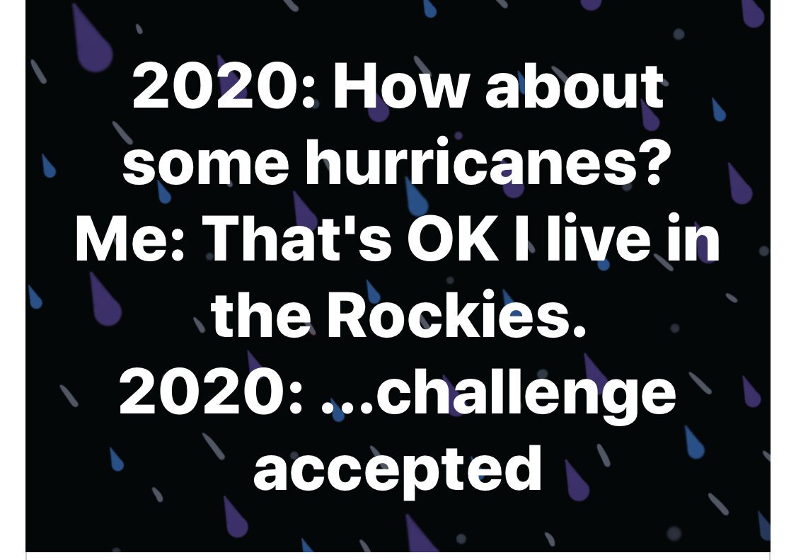
Earth, Wind, and Fire - aka September 2020
In a very 2020 type of move, we had a major multi-day windstorm last week with hurricane-force winds. Depending on where you were in the Salt Lake valley, winds were anywhere from 30 to 100 miles per hour. Hurricane winds are classified as 75 mph or higher. This story in The Washington Post does a good job of telling the basic details.
More than 180,000 people were without power and there are still tens of thousands of people with no power almost a week later. We were lucky and did not get hit as hard as many places. It was still brutal and it was eerie how long it lasted. We were able to stay home all day and I’m grateful for that. 45 semi-trucks were blown over on the freeways! I’ve been through plenty of windstorms, but this one just went nonstop for about 24 hours. In case you aren’t from Utah, let me tell you that hurricane winds don’t usually happen in the mountains.
We also had a huge temperature drop where it was 95 degrees one day and then in the 40s the next day. I know there were other areas in the west that had similar events. I have family members in Albuquerque who told me they also had a huge windstorm. Colorado got hit with a big snowstorm. Certainly not typical for the day after Labor Day!
The only good thing about the windstorm is that it did clear out the smoke for a day. It’s back now. Yes, we are actually feeling the smoke from the California fires. And we’ve had some fires of our own. The interesting thing about the Salt Lake Valley is that it’s like a big bowl surrounded by mountains. Polluted air tends to settle in the valley and we get an inversion effect that acts like a lid on top of the bowl. We get some really bad air quality because of it. Unfortunately, since I had 2 bouts of bronchitis and 1 case of pneumonia all within 6 months of each other last year, I have very weak lungs right now. I have not been able to go outside very much at all for at least 3 weeks. I have to wear a mask if I go out to get the mail and I still end up with a lot of lung pain. Which also leads to the fun game of lying in bed at night wondering “is it the smoke or is it Covid?” Good times. I’m just grateful we don’t live closer to the fires and I feel so bad for everyone who is suffering because of these terrible fires.
It’s sobering to look at the ArcGIS Wildfire Information Map right now. Basically the west is on fire. An I mean really on fire with BIG fires.
Here’s the legend to explain how to read the size of the fires.
Because of my lung situation, I have learned to monitor air quality. It turns out that the Salt Lake City area ranks 7th out of 217 metropolitan areas for worst 24-hour particle pollution, and 11th out of 228 metropolitan areas for worst ozone pollution. Lovely. Most weather reports will include air quality information and it’s usually just a Google search away. I’ve also found that the native iPhone weather app is helpful because if the air quality reaches dangerous levels, it will alert you right at the top of the screen.
Even when the air qualtiy is in better range, you can still get the info by scrolling to the bottom of the screen in the app.
If you want to study what the different levels mean, the EPA AirNow scale is very helpful. Notice how it only goes up to 500? Oregon got into the 700 range! Nobody even knows how that will actually impact humans.
The EPA AirNow app is a also a good resource to keep on your phone.
Just a few things that have been happening around here lately. And that’s all on top of the COVID-19 pandemic! What a year!
Who knows what’s coming next! Oh well, be sure to take some screenshots of the weather in your area and include information about the weather events around you in your documenting. It’s part of your story!


